Dump Data Conversion
3.1 Converting Camera Sensor Dump Data
3.1.1 Environment Setup
(1)Install Python and configure the corresponding environment variables.
(2)Install the third-party library OpenCV.
3.1.2 Run the Python Script
3.1.2.1 Method 1
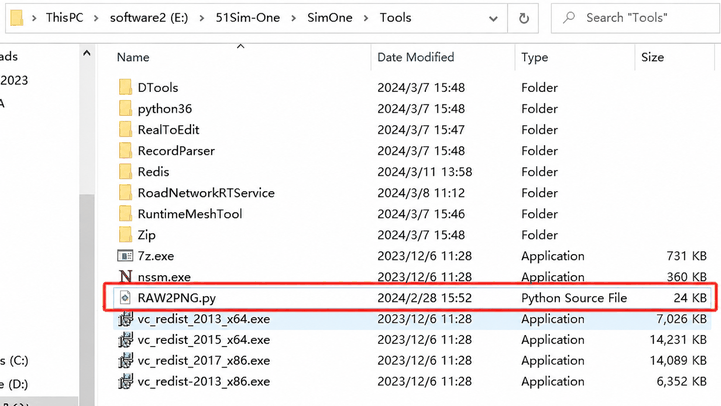
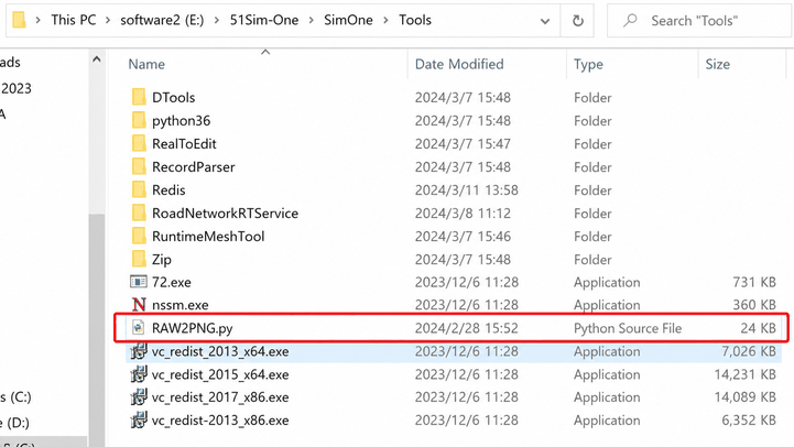
(1)Copy the file /SimOne/Tools/RAW2PNG.py from the installation path to the sensor subdirectory under C:/Dump.
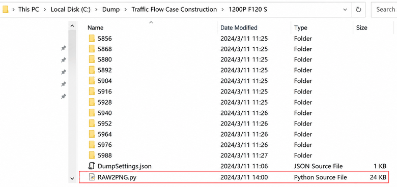
- Run
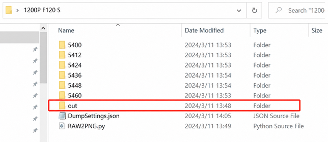
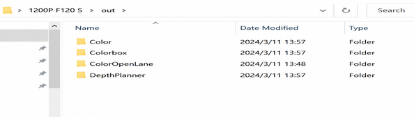
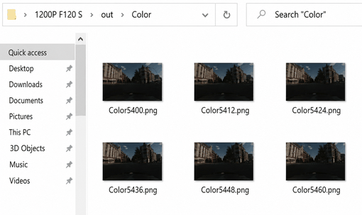
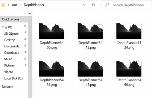
py RAW2PNG.py. An out folder will be generated containing the converted image data, as shown below.
3.1.2.2 Method 2
(1)Open the script file /SimOne/Tools/RAW2PNG.py.
- Command
python /SimOne/Tools/RAW2PNG.py // path to the Python script
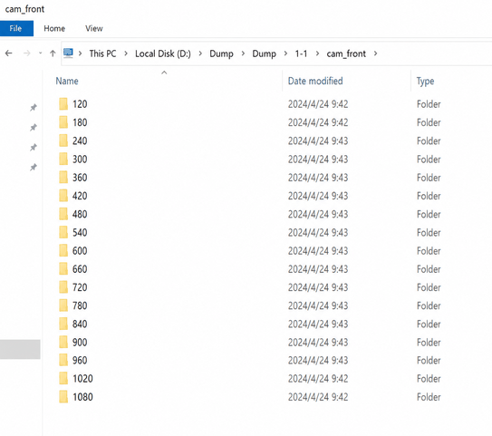
--input="D:/Dump/Dump/1-1/cam_front" // path to the Dump data folder to convert
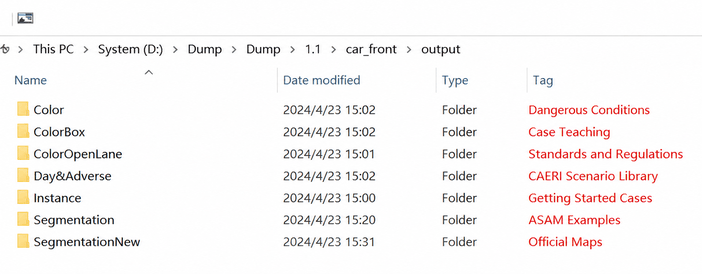
--output="D:/Dump/Dump/1-1/cam_front/output" // output path for converted data
Example:
--input example
The folder containing the Dump data for each sensor.
--output example
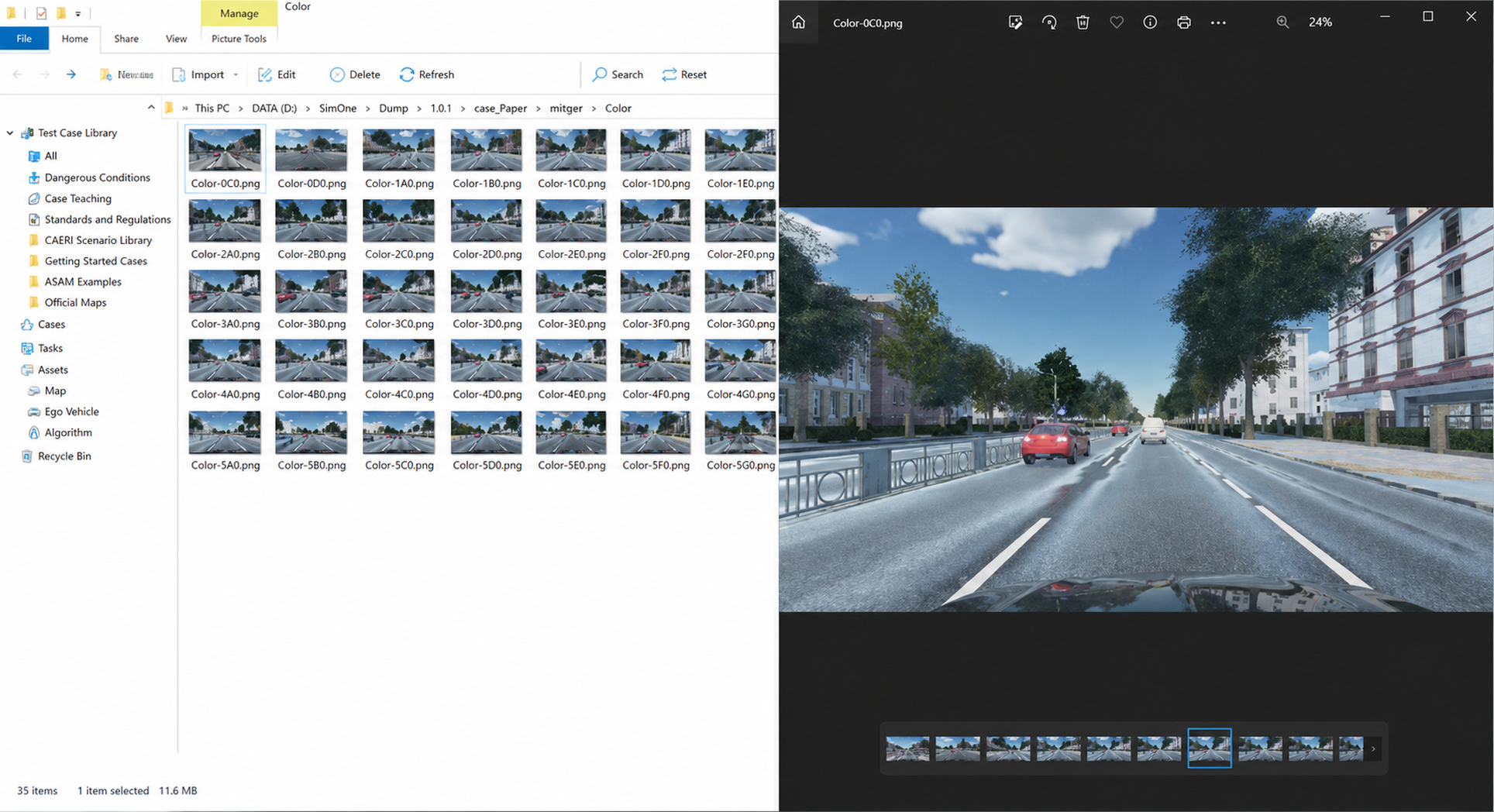
Color — real color image captured by the camera
ColorBox — 3D bounding box
ColorOpenLane — lane line segmentation map
DepthPlanner — depth map
Instance — instance segmentation map
Segmentation — grayscale map
SegmentationView — semantic segmentation map
3.2 Converting LiDAR Sensor Data to Point Cloud
3.2.1 Environment Setup
Install a PCD-to-point-cloud conversion program such as CloudCompare, or download another conversion tool of your choice.
3.2.2 Convert PCD to Point Cloud
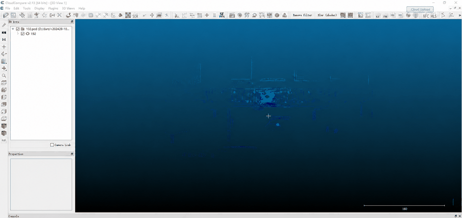
Open CloudCompare and drag the PCD file into the program. The point cloud will be displayed inside the program.